Agriculture & Land Management

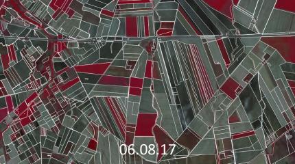
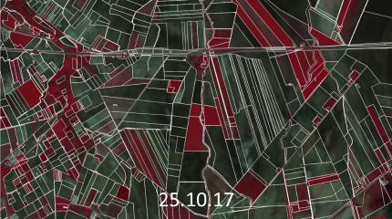
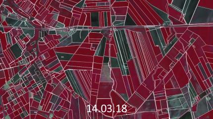
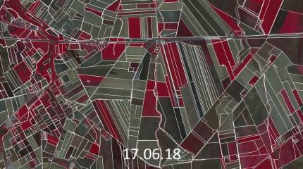
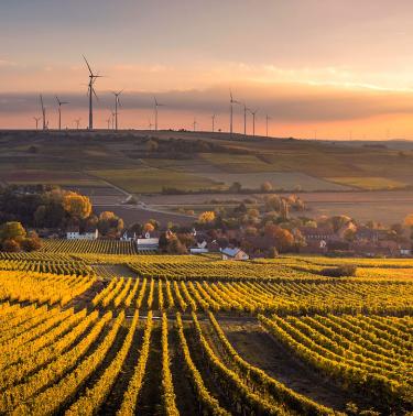
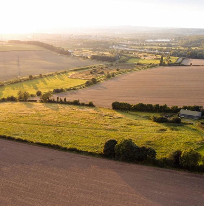
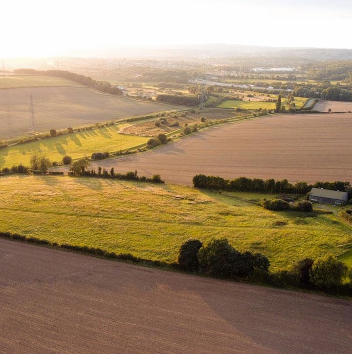
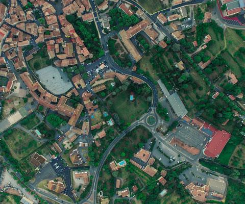
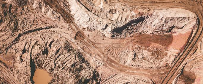
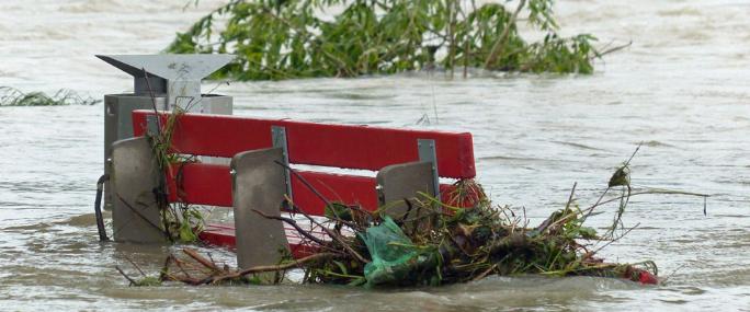
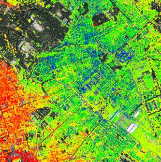
The monitoring of agriculture, land use and land cover is essential for the planning and evaluation of agronomic policy, food management and informing appropriate land management decision making.

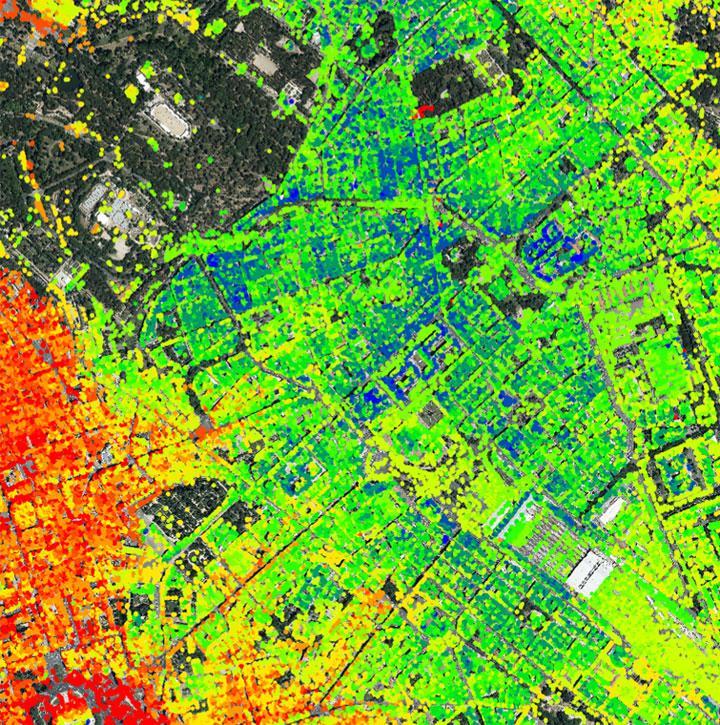
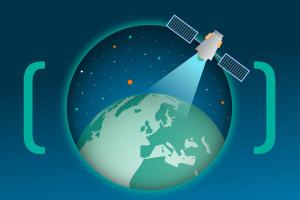
Telespazio supports private and public sector organisations, including administrations, assurance companies and farming associations, as well as organisations operating in industrial and natural resource environments. To ensure timely and informed decision making at regional or local scale, Telespazio utilises a wealth of remotely sensed data across a range of spatial, spectral and temporal resolutions. 

Find Agriculture and Land Management products on the AgriGeo and AWARE platforms.

Services and Products


Through using integrated Earth Observation (EO) data (both Synthetic Aperture Radar (SAR) and optical imagery), Telespazio provides a suite of Agricultural and Land Management solutions through the AgriGeo and AWARE platforms. These include:

  • Land Use and Land Cover change
  • Geographic Information System (GIS) solutions, including Land Information Systems
  • Ortho and cartography, 3D models and visualisation, such as geological modelling
  • Digital Terrain Models (DTM), Digital Elevation Models (DEM) and Digital Surface Models (DSM)
  • Management systems for mining and water
  • Exploration systems for groundwater and hydrocarbon
  • Agriculture surfaces and crop assessment, e.g. crop health evaluation
  • Soils condition analysis
  • Change detection monitoring
  • Agro-environmental analysis
  • Irrigated landscape mapping
  • Precision farming analysis, including yield determination
  • Agronomic subsidies management and control
  • Common Agricultural Policy (CAP) support


Contact us to find out more or request a quote

Case Study


To guarantee a correct supply of CAP funds, the Italian Agency AGEA uses a complex GIS that collects data on the national agricultural territory and from the agricultural producers. The Copernicus satellite constellation (Sentinel) is opening new approaches for a systematic monitoring of the agronomic parcels, allowing semi-automatic check of the overall crop declaration correctness and of the environmental protection applied.

An operational pilot has been successfully performed over Foggia province (south of Italy), automatically processing more than 450,000 agricultural parcels, using more than 200 Sentinel images collected in 2017 and 2018.

The processing workflow is based on information extraction in terms of “activity markers” obtained by the processing of satellite time series. In order to support the workflow, satellite data are pre-processed through the elimination of all atmospheric disturbances and clouds, and radiometric normalisation. Data is stored as a Data Cube, ensuring efficient usage as input to information extraction procedures.

Contact us to find out more or request a quote

AgriGeo

AgriGeo

An e-GEOS powered platform for agriculture and forestry products and services.

AWARE

An e-GEOS powered platform for the provision of products, services and advanced analytics tools for the monitoring and management of Critical Assets and Infrastructure.

AWARE

Earth Observation satellite data solutions for the Environmental Land Management scheme

Earth Observation satellite data solutions for the Environmental Land Management scheme

Telespazio UK's earth observation and geo information services will be crucial to the agriculture sector as it transitions to the independent UK-focussed ELM scheme.