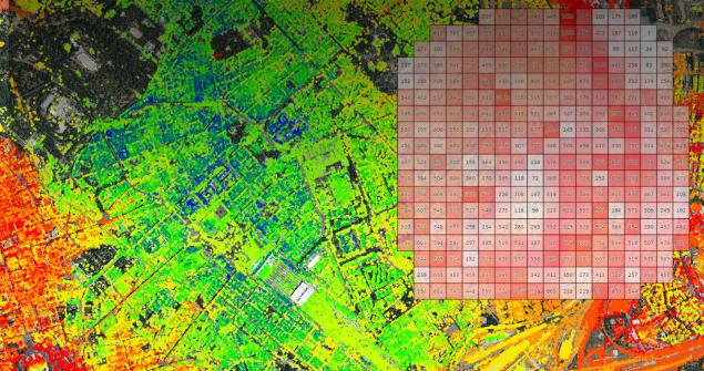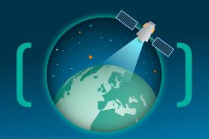
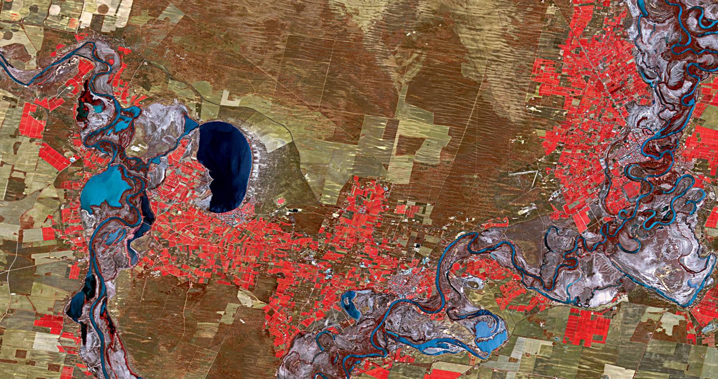


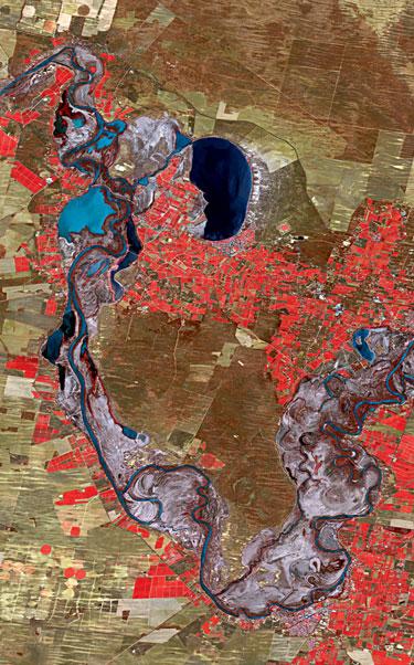
Each day, more than one thousand satellites capture detailed images and data from around the Earth. When this consistent capture of information in its many forms is combined with Geospatial technology, it can help uncover relationships between people and the planet and produce significant economic value and drive societal benefits.
Our applications can monitor critical infrastructure, maritime movements and extreme climatic events.