


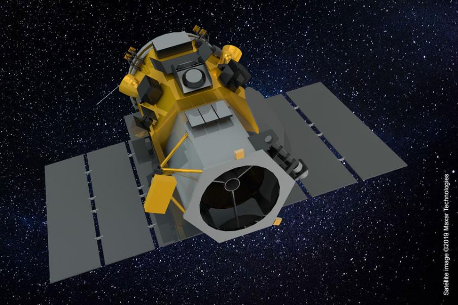
GeoEye-1 set the standard for sub-half meter high-resolution commercial satellite imagery and offers unprecedented spatial resolution.
It creates this accuracy by simultaneously acquiring 0.41-meter panchromatic and 1.65-meter multispectral imagery.
The satellite can collect up to 700,000 square kilometers of panchromatic imagery per day (and up to 350,000 square kilometres of pan-sharpened multispectral imagery). And because of GeoEye-1’s detail and geospatial accuracy, it can be used to collect imagery in every commercial and government market sector.