KOMPSAT

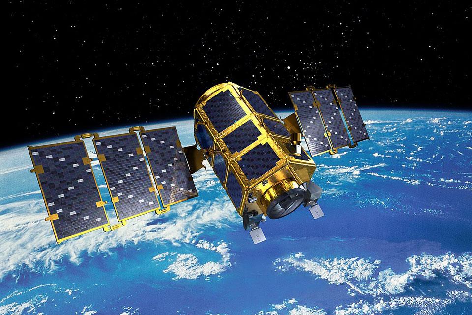
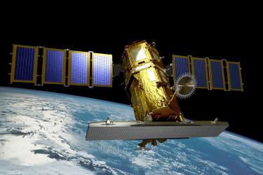
KOMPSAT (Korean Multi-Purpose Satellite) program is a part of Korean government’s space development program, which aims at providing very high resolution satellite imagery to national and international remote sensing society.

Since the first launch of KOMPSAT-1 (6.6 m, Optical) in 1999, resolution has been evolved to 55 cm due to the launch of KOMPSAT-3A, and has been widen to X-band SAR satellite imagery. KOMPSAT is dual-use program.

Korean Aerospace Research Institute(KARI) is in charge of KOMPSAT operation, and SI Imaging Services (SIIS) has worldwide exclusive distribution rights of KOMPSAT imagery. As a national space program, data continuity of KOMPSAT is guaranteed for both VHR Optical and SAR.

KOMPSAT-2

KOMPSAT-2

KOMPSAT-2 (also referred to as Arirang-2 by South Korea) was developed by KARI (Korea Aerospace Research Institute) to continue the observation program of the KOMPSAT-1 mission.

KOMPSAT-3

The main mission objectives of the KOMPSAT-2 are to provide a surveillance capability for large-scale disasters by acquiring high-resolution imagery for GIS (Geographic Information Systems) applications.

KOMPSAT-3

KOMPSAT-3A

KOMPSAT-3A

KOMPSAT-3A is Korea’s first Earth observation/Infrared satellite with two imaging systems on board. The main goal of the KOMPSAT-3A programme of the Korea Aerospace Research Institute is to develop an Earth observation satellite to obtain IR (Infrared) and high resolution Electro-Optical images for GIS applications in environmental, agricultural and oceanographic sciences as well as natural disasters.

KOMPSAT-5

KOMPSAT-5 is part of the Korean National Development Plan of Ministry of Education, Science and Technology which started in 2005. Its primary mission objective is to develop, launch and operate an Earth observation SAR (Synthetic Aperture Radar) satellite system to provide imagery for geographic information applications and to monitor environmental disasters.

KOMPSAT-5