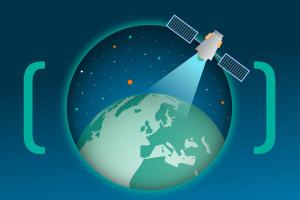


Earth Observation (EO) data and analysis supports many use cases for monitoring critical assets and energy infrastructure.
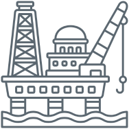
Oil and Gas
EO data is widely used by oil and gas companies to aid exploration activities as one of the more mature sectors. It provides contextual information to oil and gas operations, aiding risk mitigation and helping make informed decisions. It supports the lifecycle of operations with insight and oversight data for planning, exploration, development, production and decommissioning.
Typically combined with other data within a Geo Information Services (GIS) environment, EO data can help add vital layers of contextual information to support a range of applications, from environmental impact assessment monitoring for compliance, to streamlining operations efficiencies of pipeline encroachment analysis or specific site change detection over time. EO data supports multiple use cases, often leveraging AI-driven image recognition and filter algorithms.
Transportation
Transportation infrastructure is typically regarded as a critical national asset. Major road and rail networks spanning the length and breadth of any country are vital arteries for the movement of people and goods supporting the health of the economy.
Often built many decades ago, this infrastructure typically requires constant defect monitoring and maintenance regimes to keep operational and is increasingly effected by the weather extremes now exacerbated by climate change. Floods, droughts, subsidence and landslides, along with increasing use and higher load-weights, can have a significant impact on these assets.
Utilities
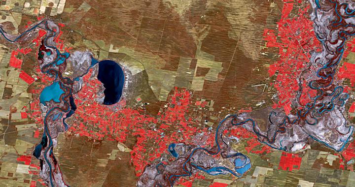
EO data from satellite remote sensing services can provide constant monitoring of physical infrastructure. SAR data, in particular, monitors asset health and ground motion deformation and can be set up to deliver system alerts. This could be a degrading road or rail bridge on the transport network or a structural compromise on a key utility facility like a dam for a water company or the protective walls and buildings of a power station for an electricity generator.
All these industries are on the front line for Co2-targeted emissions reduction measurements from operational improvements and efficiencies. Leveraging on data from satellites, along with smart applications and analytics, can help achieve these goals.
Telespazio UK provides the portal to all the Telespazio Geo Information group services, including e-GEOS ground deformation monitoring products, and a number of other commercial suppliers, selecting whichever are most appropriate to the customer needs.
Our satellite communications services and products provide reliable and secure data transfer from a single source. Our extensive experience ensures we are in a position to manage and promptly respond to the breadth and complexities of large projects, and provide solutions that deliver organisational and logistical savings.
Oil and gas exploration takes engineers and site workers to some of the world’s most remote locations, to operations that rely on safe, secure and stable communications in support of business-critical operations. The immediate exchange of information between local control centres, head office and field forces, is essential to reducing decision-making time, and improves supplier and asset management. The result is reduced capital and operating costs.
In addition, we offer customer support, training and delivery system solutions tailored to your specific requirements. We can integrate in-situ data, (of particular benefit for some ground deformation applications), deliver to remote locations via reduced bandwidth, and provide access via tablet and smart phone applications.