


MonARIS is a Telespazio service that provides risk assessment in terms of surface displacement. It is adapted to all range of granularity: from low, covering wide areas, to high, providing detailed information on specific assets of interest.
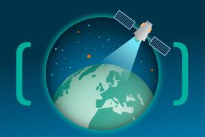
Underpinning MonARIS is a combination of tools developed by Telespazio UK, which are applied to a variety of satellite InSAR (Interferometric Synthetic Aperture Radar) data.
PacSAR is a service monitoring the condition and degradation of road ‘pavements’ of the UK’s motorways and primary A roads. Like MonARIS, it uses machine learning.