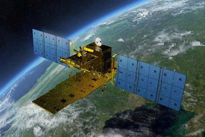


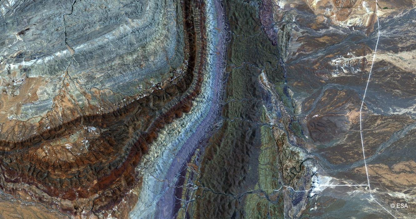

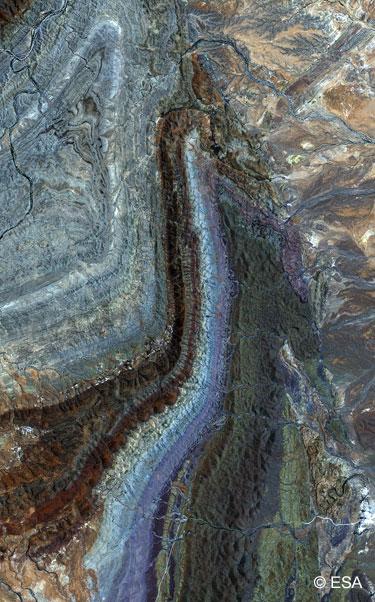
The Japan Aerospace Exploration Agency’s (JAXA) Advanced Land Observing Satellite “DAICHI” (ALOS) has been developed to contribute to the fields of mapping, precise regional land coverage observation, disaster monitoring and resource surveying. It enhances land observation technologies acquired through the development and operation of its predecessors, the Japanese Earth Resource Satellite-1 (JERS-1, or Fuyo) and the Advanced Earth Observing Satellite (ADEOS, or Midori).
ALOS has three sensors: the Panchromatic Remote-sensing Instrument for Stereo Mapping (PRISM), which is comprised of three sets of optical systems to measure precise land elevation; the Advanced Visible and Near Infrared Radiometer type 2 (AVNIR-2), which observes what covers land surfaces; and the Phased Array type L-band Synthetic Aperture Radar (PALSAR), which enables day-and-night and all-weather land observation.